
We only pin places whose coordinates come from OpenStreetMap or a published study. Other places are described below, without a pin.
List of places on the map
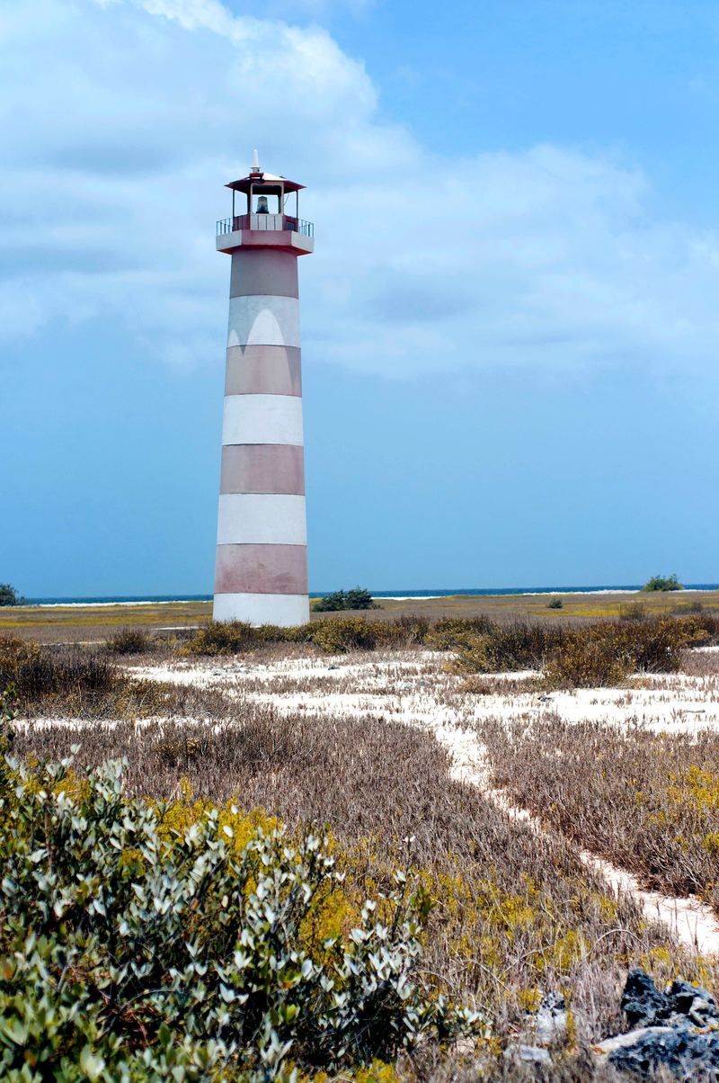
- Cayo Herradura (10.9977, -65.3782): Sand spit with a calm inner beach and a lighthouse. OpenStreetMap
- Playa Caldera (10.9506, -65.2273): Tourist pier and large Venezuela sign. OpenStreetMap
- Punta Delgada (10.9513, -65.2262): Eastern tip; Caldera and El Yaque beaches. OpenStreetMap
- Los Mogotes Lagoon (10.9064, -65.2075): The only lagoon open to the sea; the largest Dutch saltpan. Marín et al. 2011
- Boca de Cangrejo Lagoon (10.9222, -65.3969): Highest shorebird counts (August–September). Marín et al. 2011
- Tortuguillo Este lagoon (10.9719, -65.4178): Cay lagoon important for shorebirds. Marín et al. 2011
- Punta de Ranchos ponds (10.9833, -65.3069): Four seasonal saltwater ponds. Marín et al. 2011
Cayo Herradura
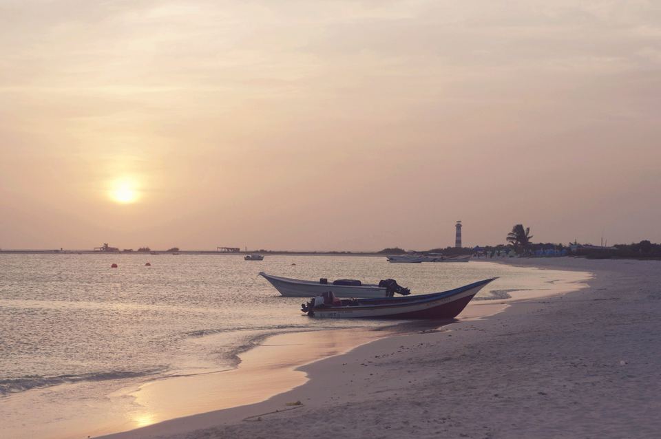
A horseshoe-shaped sand spit about 1,600 m long, with patches of low scrub and a calm inner beach that forms a bay.[1] It is one of the most popular cays, and it has a lighthouse.
Punta Delgada and Playa Caldera
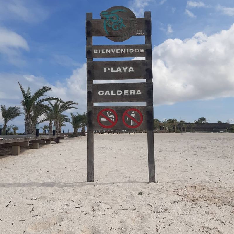
At the eastern tip, Punta Delgada (also called Punta del Este) has two main beaches: Playa Caldera and Playa El Yaque. Caldera has a tourist pier, a large sign spelling out "Venezuela" and an eco-tourism complex; it gets more direct swell.[1]
The lagoons
Los Mogotes, in the east, is the only studied lagoon directly connected to the sea, and it was the largest Dutch saltpan.[2][3] Boca de Cangrejo, in the west, holds the most shorebirds in August and September.[2]