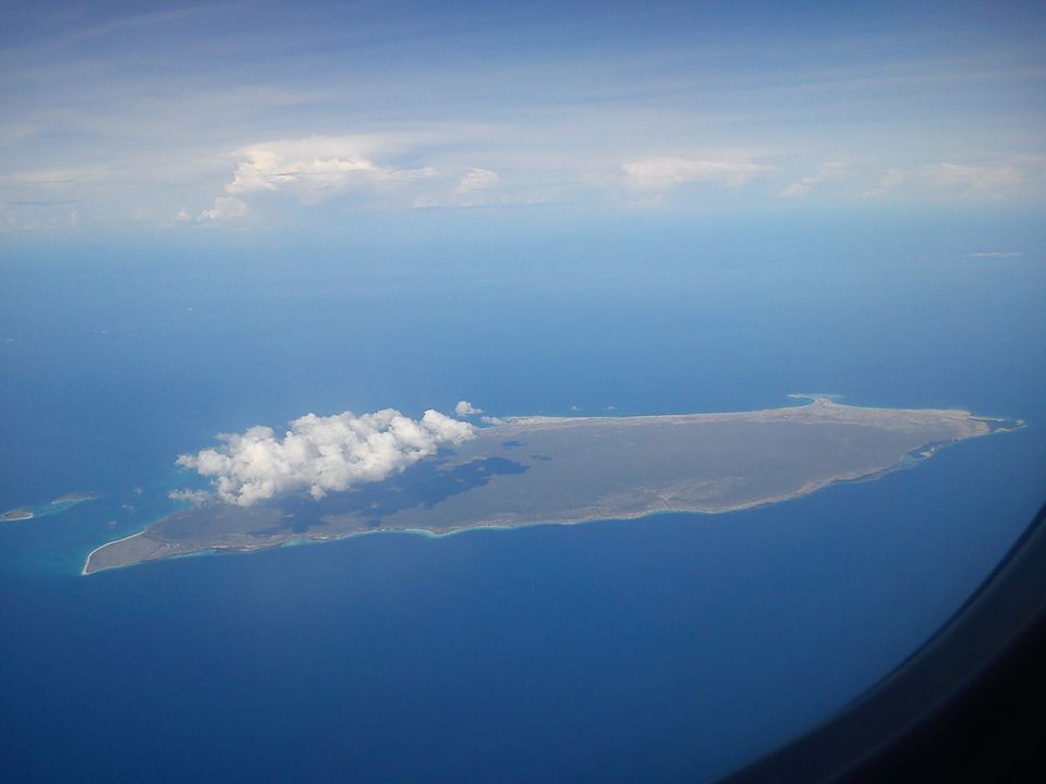

La Tortuga lies in the southern Caribbean, off Venezuela's central-eastern coast, at about 10° 55′ N, 65° 18′ W.[1] Together with its cays it covers about 156.6 km², making it the country's second-largest oceanic island after Margarita.[1]
- Area
- ≈ 156.6 km²including its cays[1]
- Length
- ≈ 25 kmeast to west[1]
- Coastline
- ≈ 65 kmof shore[2]
- Distance
- ≈ 85 kmfrom Río Chico and Higuerote[1]
Where it is
The island lies about 72 km north-east of Cabo Codera and about 120 km west of Margarita.[2] It is roughly 85 km from the Miranda coast (Río Chico, Higuerote) and about 170 km from Caracas.[1] Its outline is a long ellipse stretching east to west.[1]
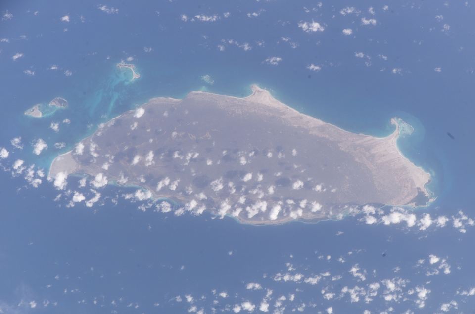
The cays
North and north-west of the main island lie the cays: Cayo Herradura and the two Tortuguillos (East and West).[2] Wikipedia also lists the Los Palanquines shoals, the Ño Martín cays, El Vapor islet and the Punta de Ranchos cays.[1]
Cayo Herradura ("Horseshoe Cay") is a sand spit about 1,600 m long and 60–400 m wide; its calm inner beach forms a bay where sailing boats and motor boats anchor.[1]
Landscape and climate
The ground is coral limestone with dry-adapted (xerophytic) vegetation, surrounded by coral reefs, mangroves and wide seagrass meadows.[3] It is a dry coastal environment: Marín and colleagues describe mean annual temperatures above 28 °C and 300–1,000 mm of rain a year.[2] Thorny coastal scrub dominates, and the inland lagoons are fringed with mangrove.[2]
Who governs it?
La Tortuga is a Federal Dependency. Under the 1938 Organic Law of the Federal Dependencies, it is governed and administered directly by the national government: it belongs to no state or municipality and has no governor or mayor.[1] The Venezuelan Navy keeps small posts and patrols its coasts.[1]
No one lives here permanently. Artisanal fishers from Margarita and the Miranda coast come seasonally, and tourism by motor boat, sailing boat and yacht has grown in recent decades.[1]